Emescent’s Hovermap goes on sale
Drone-based inspection and mapping start up Emesent has announced the commercial availability of their revolutionary Hovermap drone payload.
The announcement, made at the International LiDAR Mapping Forum (ILMF) in Denver, Colorado, brings advanced autonomy capabilities to the simplest of drones.
Hovermap includes a 360 degree capable LiDAR-based collision avoidance system, allowing drones to be flown safely underground, indoors or up close to structures to inspect and map them.
Hovermap also provides SLAM (Simultaneous Localisation and Mapping) capability, allowing accurate mapping when GPS is not available.
Recently @AuManufacturing revealed Emescent had raised $3.5 million in venture capital to bring its' CSIRO-sourced technology to market.
Speaking at ILMF, Emesent CEO and Co-Founder Dr Stefan Hrabar said Hovermap “…provides a step change in the data collection possibilities for Mining, Energy, Construction, Asset Management and many more.
“There is increasing demand for these industries to digitise and remotely inspect their assets but access to hazardous areas and the lack of GPS has been a limiting factor until now.”
The commercial launch comes after more than five years of R&D by world-leading researchers in drone autonomy and SLAM-based LiDAR mapping.
LIDAR, which stands for Light Detection and Ranging, uses light from a pulsed laser to measure distances.
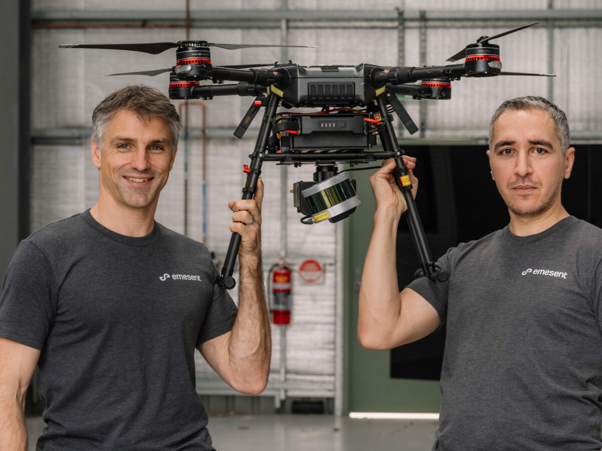
Picture: CSIRO/Emesent co-founders Stefan Hrabar and Farid Kendoul.
Subscribe to our free @AuManufacturing newsletter here.
Topics Manufacturing News Technology
More in this section


@aumanufacturing Sections
Analysis and Commentary Awards casino reviews Defence Gambling Manufacturing News Online Casino Podcast Technology Videos